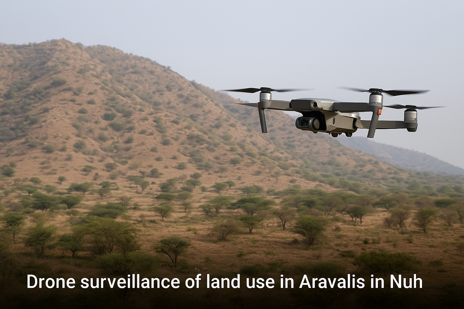

In a major move to curb illegal land use and protect fragile forest areas, Haryana’s Town and Country Planning (TCP) department has launched real-time surveillance operations using drones across the Aravalis in Nuh. This step comes in response to growing concerns about encroachment, unauthorized construction, and ecological degradation in the region, and is set to reshape how environmental violations are monitored and tackled in the National Capital Region.
The Aravalis in Nuh district have long been vulnerable to land grabbing, unauthorized land-use changes, and illegal construction activity. Over the last decade, unregulated development, driven by both local land mafias and opportunistic builders, has eaten into ecologically sensitive zones—threatening wildlife corridors, water recharge zones, and protected forest patches.
The area falls within the Natural Conservation Zone (NCZ), where commercial, industrial, and even residential activity is strictly restricted. Yet, land use records have been quietly altered to enable illegal plotting and sale of forest land for profit.
The TCP department has now rolled out a GIS-enabled, real-time surveillance system in partnership with the Haryana Space Applications Centre (HARSAC). This high-tech approach involves:
According to officials, this system will allow the government to flag and stop encroachments within 24 hours, long before permanent damage can be done.
“With drone feeds coming in daily, there’s no room for land grabbers to manipulate land records or carry out clandestine construction anymore,” said a senior TCP officer involved in the project.
This initiative is not just about preserving green cover—it also supports ongoing legal efforts. The National Green Tribunal (NGT) and Supreme Court have repeatedly highlighted illegal land use in the Aravalis as a serious concern. In recent years, several demolition drives in the region were prompted by judicial directives.
The new drone system empowers authorities with proof-based action, enabling quicker FIRs and sealing orders against violators. It will also serve as key evidence in court cases involving land fraud and forest clearance violations.
The technology will also support carbon sink measurement, groundwater recharge tracking, and land degradation alerts, making it a critical tool for climate resilience in Haryana. The Aravalis are among the few remaining green lungs of NCR and crucial to Delhi’s air quality.
The move aligns with the Haryana government’s broader push to regulate land use in sensitive zones like Faridabad, Gurugram, and Nuh. A state-level task force is already conducting structural audits and cracking down on unauthorized real estate activity.
In Nuh alone, over 60 land use violations were recorded in 2023, many of which involved fraudulent conversion of forest land to agriculture or residential use. These cases are now being reevaluated using the new data system.
Haryana’s Town and Country Planning (TCP) department has introduced a real-time drone monitoring system in Nuh’s Aravalis to curb illegal land use. It provides daily drone footage and satellite overlays to detect unauthorized construction and encroachments quickly.
The Aravalis in Nuh are part of a designated Natural Conservation Zone (NCZ), where any form of construction or land modification is heavily restricted. Due to rising cases of illegal plotting and land grabbing, the government has intensified surveillance.
The drones capture high-resolution images and detect land changes in real time. Authorities receive automated alerts, allowing them to take immediate action—such as filing FIRs, sealing properties, or demolishing illegal structures—often within 24 to 48 hours.
The system is a joint initiative between the TCP department and HARSAC (Haryana Space Applications Centre), responsible for data mapping, GIS analysis, and enforcement coordination.
Authorities are targeting illegal plotting, unauthorized residential and commercial construction, encroachments into forest or protected land, and conversion of NCZ land into agricultural or private holdings.
Yes. The drone surveillance system generates timestamped imagery and geo-tagged evidence that is admissible in court, making it a valuable tool for environmental litigation and land dispute resolution.
The most sensitive areas are monitored daily with drones. Satellite data complements this by tracking broader trends in land use changes over time, enabling both short-term response and long-term planning.
Currently, the focus is on vulnerable NCZ zones in Nuh, but the Haryana government plans to expand similar drone surveillance to Gurugram, Faridabad, and other ecologically sensitive districts in the state.
Part of the NCR Guide editorial team, covering news, real estate, food and lifestyle across Delhi NCR.
Join thousands of Delhi NCR residents who start their day with our morning brief — top stories, real estate updates, events and deals.